Sketchfab
3D Model
Redesdale, Northumberland - 3D Lidar Landscape
License & Attribution
Description
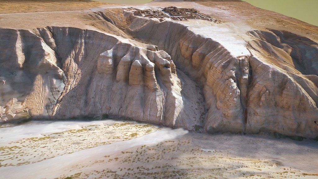
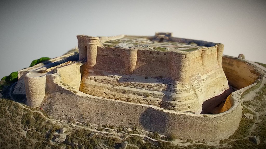
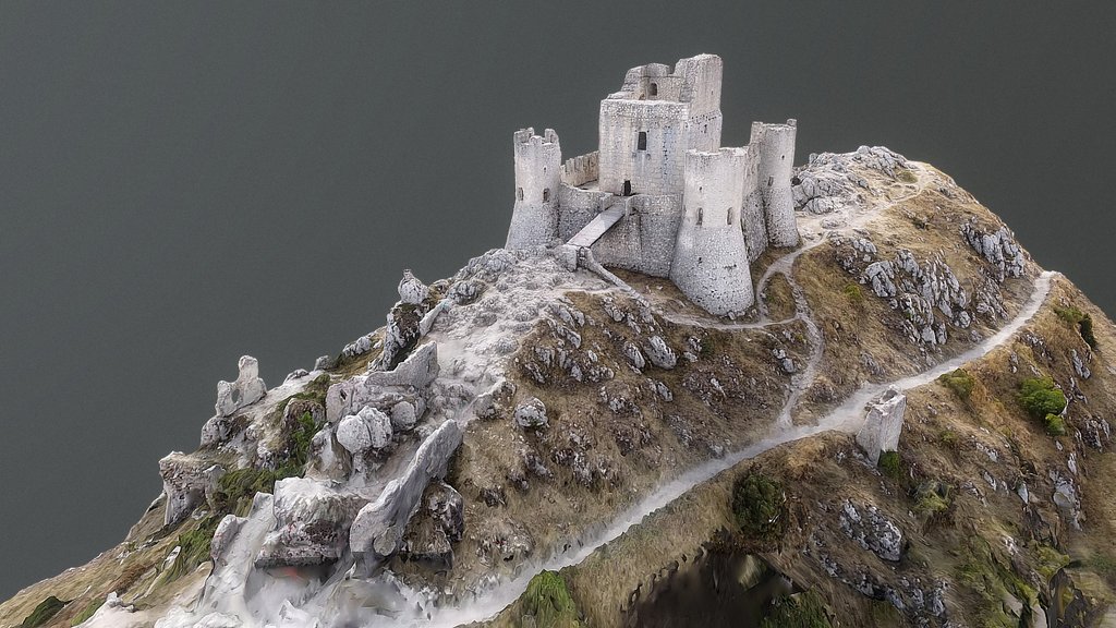
100 sqkm 3D lidar (dsm) landscape around the River Rede NW of Otterburn in Northumberland.
Amazing archaeology including: numerous prehistoric hillforts, settlements and field systems, two Roman roads, Roman temporary camps and forts, Medieval and later abandoned villages, fields, and much much more.
[Location](https://wtp2.appspot.com/wheresthepath.htm?lat=55.256691&lon=-2.225640&lz=13&rz=13<=OS&rt=satellite&lov=None&rov=None)
3D model from enhanced LIDAR (DSM, 1m) © Environment Agency copyright and/or database right 2022. All rights reserved. Vertical exaggeration x1.5.
Enhancement of the LIDAR was carried out using tools made available in the QGIS plugin, Relief Visualization Toolbox. Kokalj, Žiga & Hesse, Ralf. (2017). Airborne laser scanning raster data visualization: A Guide to Good Practice.
3D landscape model made using the QGIS2threejs plugin for QGIS.
Sketchfab
3D Model
Redesdale, Northumberland - 3D Lidar Landscape
Share:
AI-Powered Productivity
Boost your creative workflow with seamless access to ChatGPT, Claude, Midjourney and other global AI platforms. We recommendTongbaofor one-click access to AI tools and remote collaboration platforms. Get 200MB free daily upon registration, supports Google Workspace, Notion, and more.
Asset Information
Type:
3D Model
Source:
Sketchfab
Author:
NOWTAGProfile:
View on Sketchfab
Download:
Available
Published:
April 3, 2026
License:
CC Attribution
Commercial Use
Check License
View on Sketchfab
Statistics
Downloads:
13
Likes:
0
Views:
64
Technical Specifications
Polygons:
81,602
Vertices:
42,829
Categories