Sketchfab
3D Model
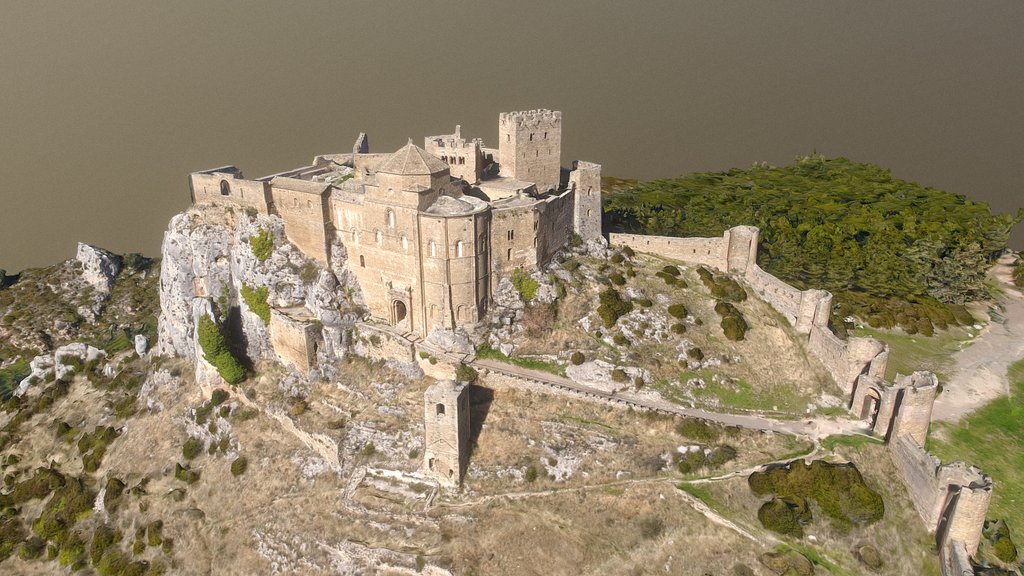
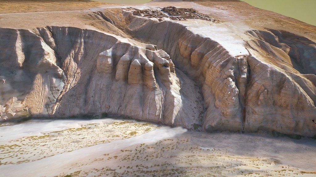
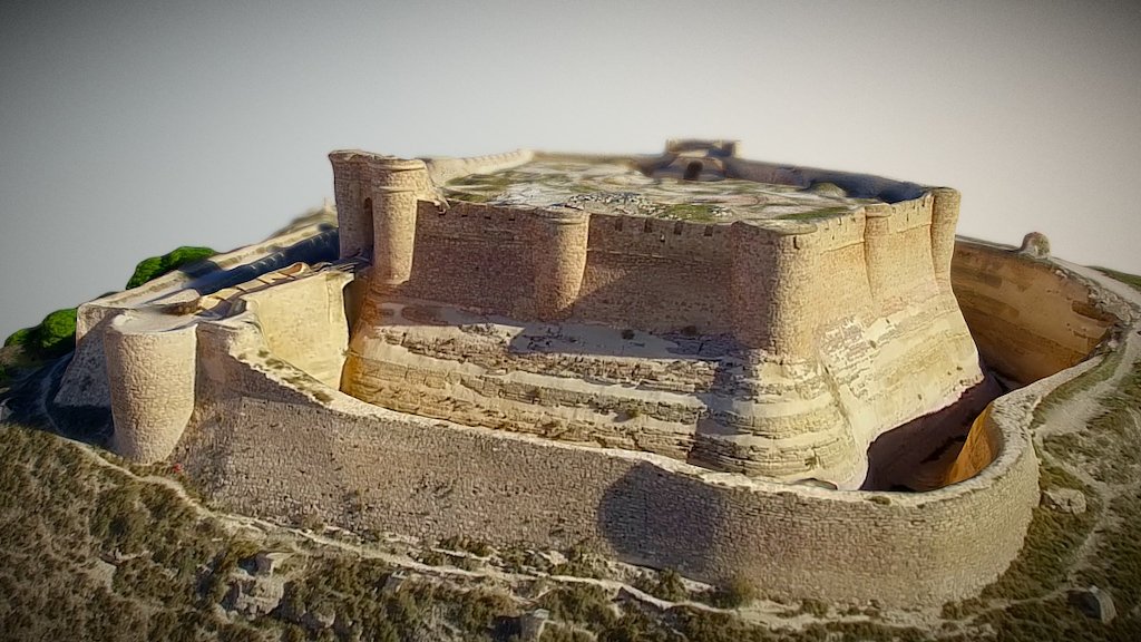
Greenlee 3D landscape (bing satellite imagery)
License & Attribution
Description
3D model from enhanced LIDAR (DSM, 1m) © Environment Agency copyright and/or database right 2022. All rights reserved.
Overlaid with satellite imagery from bing (2026).
3D landscape model made using the QGIS2threejs plugin for QGIS.
Sketchfab
3D Model
Greenlee 3D landscape (bing satellite imagery)
Share:
AI-Powered Productivity
Boost your creative workflow with seamless access to ChatGPT, Claude, Midjourney and other global AI platforms. We recommendTongbaofor one-click access to AI tools and remote collaboration platforms. Get 200MB free daily upon registration, supports Google Workspace, Notion, and more.
Asset Information
Type:
3D Model
Source:
Sketchfab
Author:
NOWTAGProfile:
View on Sketchfab
Download:
Available
Published:
February 23, 2026
License:
CC Attribution
Commercial Use
Check License
View on Sketchfab
Statistics
Downloads:
0
Likes:
0
Views:
1
Technical Specifications
Polygons:
81,634
Vertices:
42,910
Categories