Sketchfab
3D Model
Alsace, altitude et MNT
License & Attribution
Description
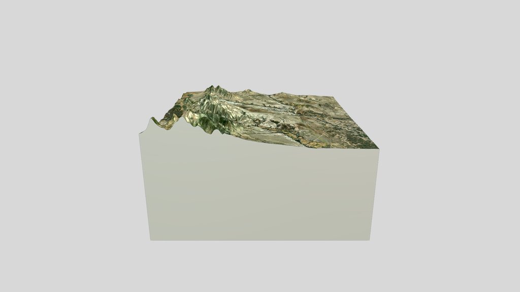
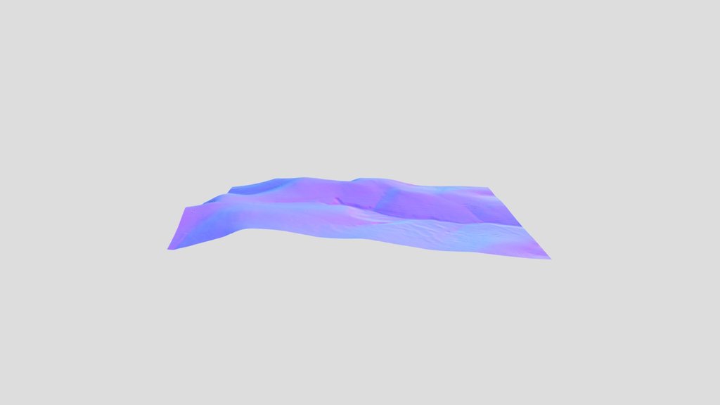
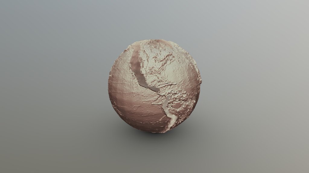
Modèle numérique de terrain, Alsace (Fossé Rhénan, Vosges et Forêt Noire). Code couleur: altitude.
Donnees topographiques:
NASA Shuttle Radar Topography Mission (SRTM)(2013). Shuttle Radar Topography Mission (SRTM) Global. Distributed by OpenTopography. https://doi.org/10.5069/G9445JDF. Accessed 2026-04-18
Generation du modele sous Blender.
Sketchfab
3D Model
Alsace, altitude et MNT
Share:
AI-Powered Productivity
Boost your creative workflow with seamless access to ChatGPT, Claude, Midjourney and other global AI platforms. We recommendTongbaofor one-click access to AI tools and remote collaboration platforms. Get 200MB free daily upon registration, supports Google Workspace, Notion, and more.
Asset Information
Type:
3D Model
Source:
Sketchfab
Author:
Renaud ToussaintProfile:
View on Sketchfab
Download:
Available
Published:
April 18, 2026
License:
CC Attribution
Commercial Use
Check License
View on Sketchfab
Statistics
Downloads:
0
Likes:
0
Views:
2
Technical Specifications
Polygons:
838,859
Vertices:
421,134
Categories