Sketchfab
3D Model
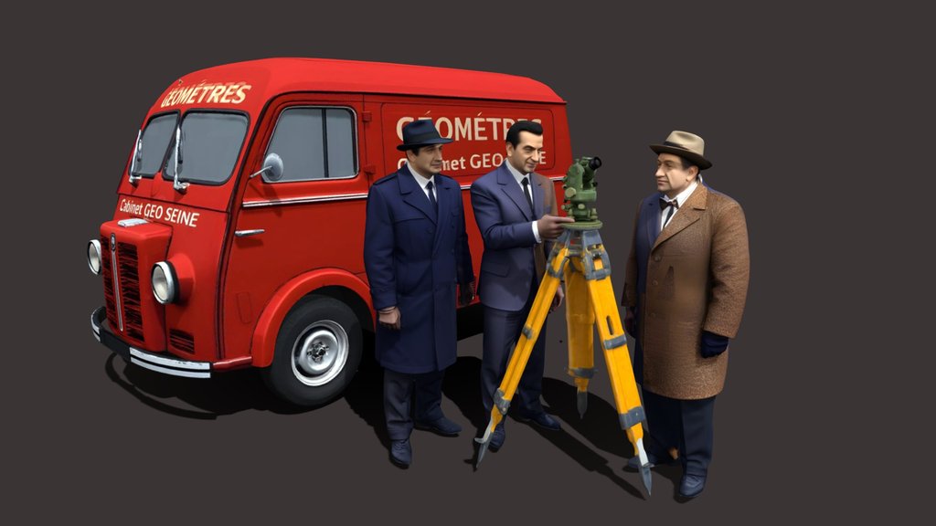
Opperrateur GPS Sahara
License & Attribution
Description
Today, GNSS (Global Navigation Satellite Systems) positioning relies on several constellations. The exact number varies slightly depending on the source and the status of the satellites (active, in reserve, maintenance), but a reliable order of magnitude can be given (2025–2026):
Main constellations (global coverage)
• GPS (United States): ~31 active satellites
• GLONASS (Russia): ~24 operational satellites
• Galileo (Europe): ~27 operational satellites (≈30 in orbit)
• BeiDou (China): ~35 satellites (current order of magnitude for the complete constellation)
Total global GNSS
In practice, this equates to approximately 110 to 120 active satellites used for global positioning.
The system with twenty-four satellites was fully operational in 1995. Knowing the satellite positions at the time the signals were transmitted, and the measured pseudo-distances (possibly corrected for various factors.
Sketchfab
3D Model
Opperrateur GPS Sahara
Share:
AI-Powered Productivity
Boost your creative workflow with seamless access to ChatGPT, Claude, Midjourney and other global AI platforms. We recommendTongbaofor one-click access to AI tools and remote collaboration platforms. Get 200MB free daily upon registration, supports Google Workspace, Notion, and more.
Asset Information
Type:
3D Model
Source:
Sketchfab
Author:
TG13730Profile:
View on Sketchfab
Download:
Available
Published:
March 24, 2026
License:
CC Attribution
Commercial Use
Check License
View on Sketchfab
Statistics
Downloads:
1
Likes:
0
Views:
3
Technical Specifications
Polygons:
616,869
Vertices:
387,164
Categories