Sketchfab
3D Model
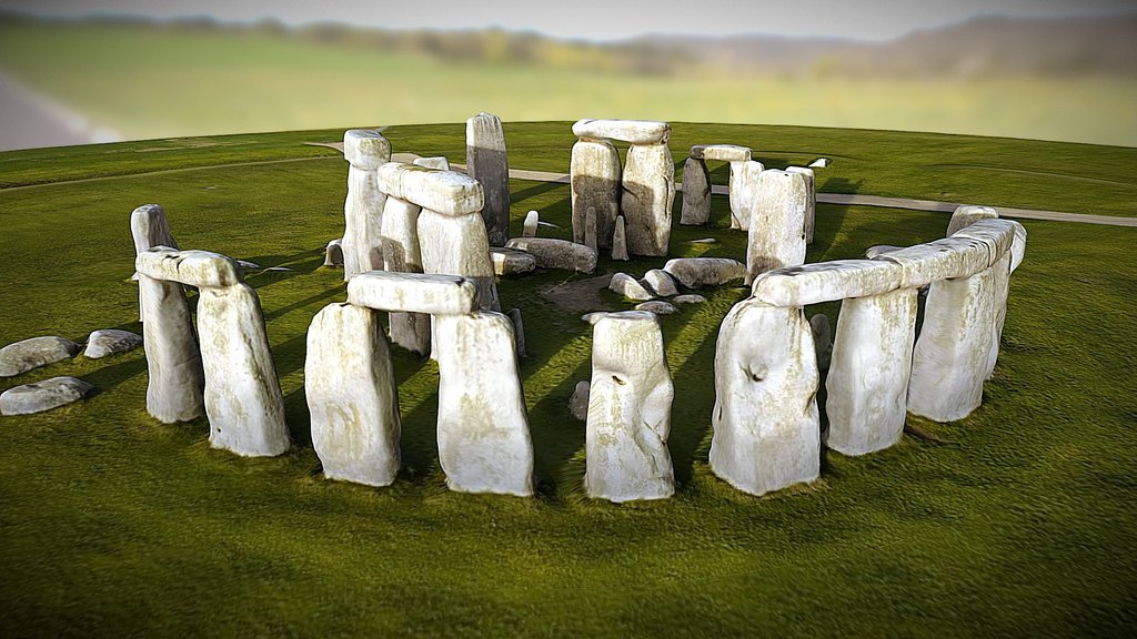
Stonehenge LiDAR Archaeology Landscape
License & Attribution
Description
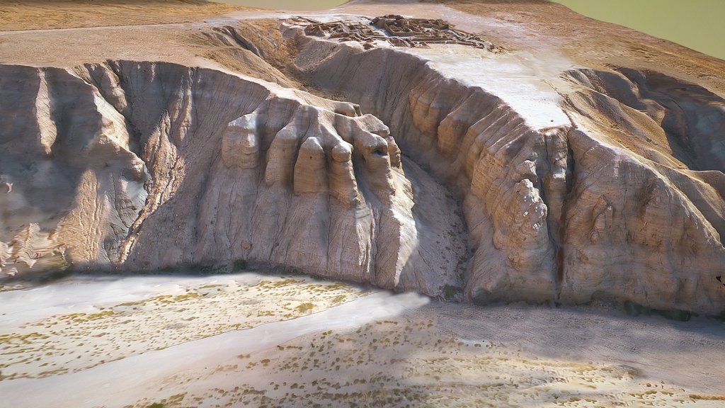
A LiDAR landscape of the key archaeological features around Stonehenge including Stonehenge itself, The Avenue, the Cursus and numerous barrow burial mounds. The 1 metre LiDAR is only partial at Stonehenge with many of the sites to the west not included in the current opendata coverage. This is a digital terrain model version which represents the bare ground surface only so prominent buildings, trees and even the stones of the Stonehenge circles are stripped off in this case.
Created using 1 metre DTM LiDAR opendata provided by the Environment Agency. Built in QGIS using the QGIS2threeJS plugin.
Thanks to Mike Gill of the Avon Valley Archaeological Society for the python code which converts QGIS models into a format compatible with Sketchfab.
Best viewed full screen and in HD (see options at bottom of model view). Feel free to share on various media, download, or embed on your website using the embed code.
Sketchfab
3D Model
Stonehenge LiDAR Archaeology Landscape
Share:
AI-Powered Productivity
Boost your creative workflow with seamless access to ChatGPT, Claude, Midjourney and other global AI platforms. We recommendTongbaofor one-click access to AI tools and remote collaboration platforms. Get 200MB free daily upon registration, supports Google Workspace, Notion, and more.
Asset Information
Type:
3D Model
Source:
Sketchfab
Author:
Mark WaltersProfile:
View on Sketchfab
Download:
Available
Published:
January 26, 2017
License:
CC Attribution
Commercial Use
Check License
View on Sketchfab
Statistics
Downloads:
1,825
Likes:
48
Views:
9,127
Technical Specifications
Polygons:
718,500
Vertices:
360,480