Sketchfab
3D Model
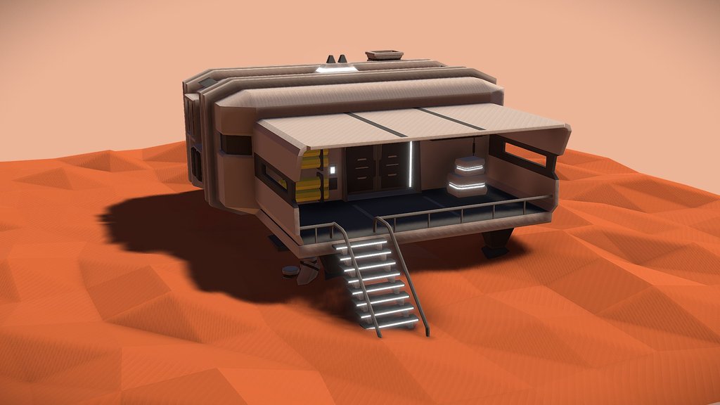
Mars Terrain Map
License & Attribution
Description
A low ploy reconstruction of Mars' global topography, built from orbital elevation data collected by the HRSC-MOLA Blended Digital Elevation Model, a dataset produced by the U.S. Geological Survey's Astrogeology Science Center.
Sketchfab
3D Model
Mars Terrain Map
Share:
AI-Powered Productivity
Boost your creative workflow with seamless access to ChatGPT, Claude, Midjourney and other global AI platforms. We recommendTongbaofor one-click access to AI tools and remote collaboration platforms. Get 200MB free daily upon registration, supports Google Workspace, Notion, and more.
Asset Information
Type:
3D Model
Source:
Sketchfab
Author:
guinetikProfile:
View on Sketchfab
Download:
Available
Published:
March 25, 2026
License:
CC Attribution
Commercial Use
Check License
View on Sketchfab
Statistics
Downloads:
1
Likes:
0
Views:
4
Technical Specifications
Polygons:
1,126,780
Vertices:
563,922
Categories