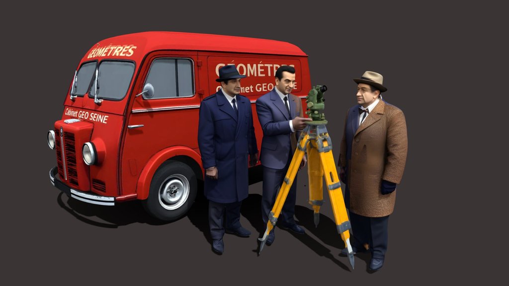
Sketchfab
3D Model
Opperrateur GPS Sahara
许可证和归属
描述
Today, GNSS (Global Navigation Satellite Systems) positioning relies on several constellations. The exact number varies slightly depending on the source and the status of the satellites (active, in reserve, maintenance), but a reliable order of magnitude can be given (2025–2026):
Main constellations (global coverage)
• GPS (United States): ~31 active satellites
• GLONASS (Russia): ~24 operational satellites
• Galileo (Europe): ~27 operational satellites (≈30 in orbit)
• BeiDou (China): ~35 satellites (current order of magnitude for the complete constellation)
Total global GNSS
In practice, this equates to approximately 110 to 120 active satellites used for global positioning.
The system with twenty-four satellites was fully operational in 1995. Knowing the satellite positions at the time the signals were transmitted, and the measured pseudo-distances (possibly corrected for various factors.
Sketchfab
3D Model
Opperrateur GPS Sahara
分享:
AI 智能办公推荐
搭配 AI 工具提升创作效率,流畅访问 ChatGPT、Claude、Midjourney 等海外 AI 平台。推荐使用通宝 (Tongbao)一键直连全球 AI 工具与协同办公平台。注册即享每日 200M 免费额度,支持 Google Workspace、Notion 等远程办公套件。
资源信息
类型:
3D Model
来源:
Sketchfab
作者:
TG13730下载:
可下载
发布时间:
March 24, 2026
许可证:
CC Attribution
商用许可
请查看许可证
在 Sketchfab 上查看
统计
下载次数:
1
点赞数:
0
浏览数:
3
技术规格
多边形数:
616,869
顶点数:
387,164