Sketchfab
3D Model
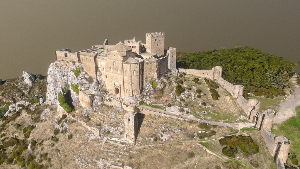
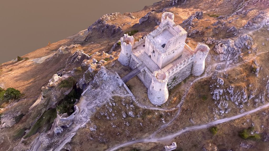
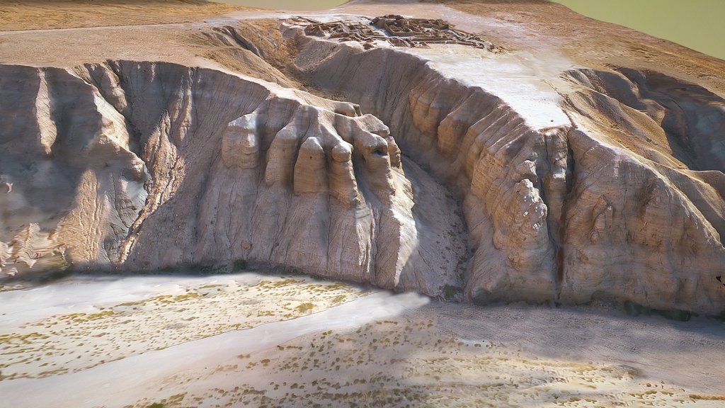
Lowther Castle - 3D LIDAR landscape (DTM)
许可证和归属
描述
Paired with model from DTM: https://skfb.ly/pK9KR
3D model from enhanced LIDAR (DTM, 1m) © Environment Agency copyright and/or database right 2022. All rights reserved. Vertical exaggeration x2.
Enhancement of the LIDAR was carried out using tools made available in the QGIS plugin, Relief Visualization Toolbox. Kokalj, Žiga & Hesse, Ralf. (2017). Airborne laser scanning raster data visualization: A Guide to Good Practice.
3D landscape model made using the QGIS2threejs plugin for QGIS.
Sketchfab
3D Model
Lowther Castle - 3D LIDAR landscape (DTM)
分享:
AI 智能办公推荐
搭配 AI 工具提升创作效率,流畅访问 ChatGPT、Claude、Midjourney 等海外 AI 平台。推荐使用通宝 (Tongbao)一键直连全球 AI 工具与协同办公平台。注册即享每日 200M 免费额度,支持 Google Workspace、Notion 等远程办公套件。
资源信息
类型:
3D Model
来源:
Sketchfab
作者:
NOWTAG下载:
可下载
发布时间:
May 23, 2026
许可证:
CC Attribution
商用许可
请查看许可证
在 Sketchfab 上查看
统计
下载次数:
4
点赞数:
1
浏览数:
21
技术规格
多边形数:
81,602
顶点数:
42,829