Sketchfab
3D Model
Lost Stones of Strathtay - Croftvellick 2 NEW
License & Attribution
Description
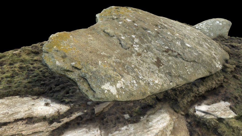
Located in a lovely, hidden location on the top of a large rock-topped hill in native birch, oak & rowan woodland. This large rock has at least 10 cupmarks on an exposed flat area some 20m W of the high point. The cupmarks vary in size from 3-6cm in diameter and are relatively shalow at 1cm or less. The site is situated on the lands of Carie Farm on the N bank of Loch Tay 650m S of the farmhouse and around 350m E of the deserted settlement of Croftvellick.
Grid Ref. NN 64721 36951
Trove No. N/A
ScRAP No. N/A
This 3D photogrammetry modelling was compiled by Nick Parish in May 2026 on behalf of the Perth & Kinross Heritage Trust's , Lost Stones of Strathtay Project.
It may be best viewed using the Mattcap option in the Model Inspector.
Sketchfab
3D Model
Lost Stones of Strathtay - Croftvellick 2 NEW
Share:
AI-Powered Productivity
Boost your creative workflow with seamless access to ChatGPT, Claude, Midjourney and other global AI platforms. We recommendTongbaofor one-click access to AI tools and remote collaboration platforms. Get 200MB free daily upon registration, supports Google Workspace, Notion, and more.
Asset Information
Type:
3D Model
Source:
Sketchfab
Author:
Nick ParishProfile:
View on Sketchfab
Download:
Available
Published:
May 21, 2026
License:
CC Attribution-NonCommercial
Commercial Use
Check License
View on Sketchfab
Statistics
Downloads:
1
Likes:
0
Views:
4
Technical Specifications
Polygons:
4,623,397
Vertices:
2,315,226
Categories