Sketchfab
3D Model
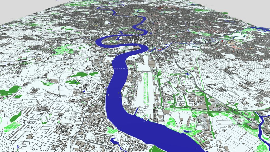
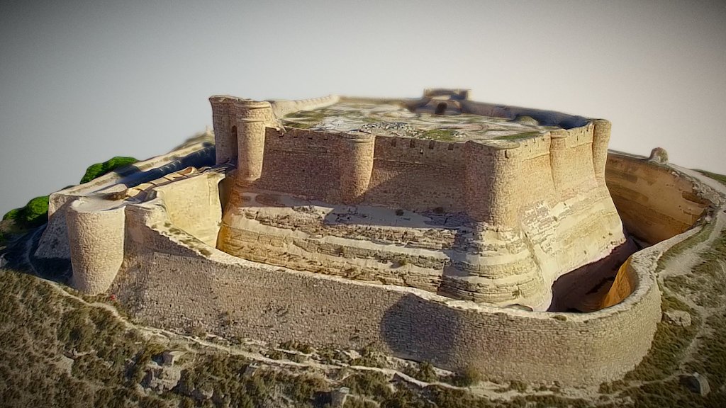
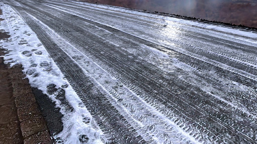
Belgorod Region | Cityscape /Landscape/ Terrain
License & Attribution
Description
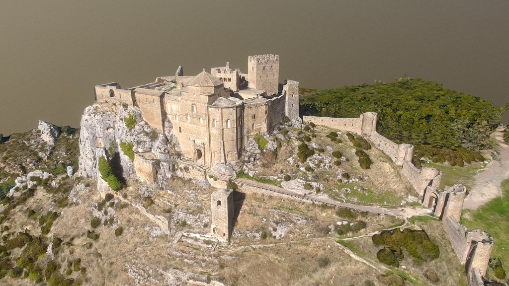
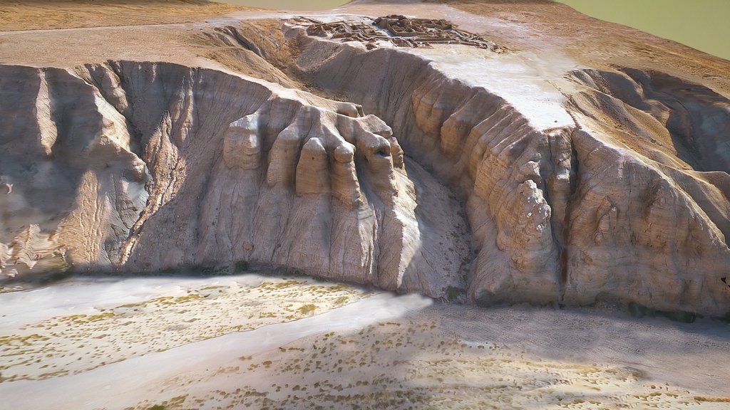
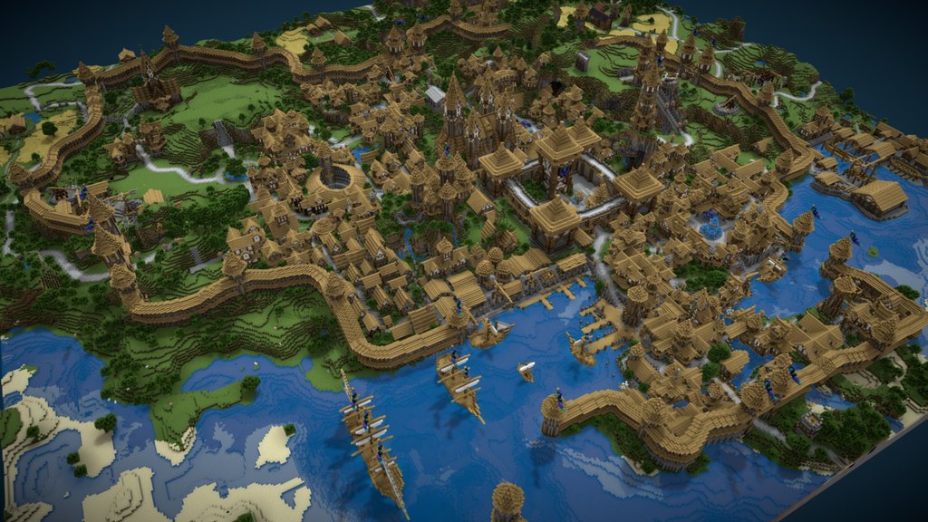
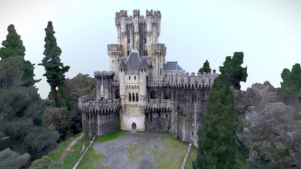
# About:
28x28 km (784 km²) near the frontline areas:
* landscape/tarrain;
* buildings and objects;
* roads and paths;
* zones and biomes.
Used OSM geodata.
# Used Softwares: * Blender (4.1.1) * OpenStreetMap
# Used Softwares: * Blender (4.1.1) * OpenStreetMap
Tags
landscape
api
terrain
land
maps
mapping
plugin
district
urban
geology
historical
state
russian
cityscene
russia
map
geography
topography
ukraine
cityscape
openstreetmap
geografia
politics
ukrainian
cartography
osm
geographic
geodata
urban-planning
political
geographical
region
city-building
3d-map
blender
city
war
belgorod
ukrainewar
warinukraine
war-in-ukraine
russian-terror
Sketchfab
3D Model
Belgorod Region | Cityscape /Landscape/ Terrain
Share:
AI-Powered Productivity
Boost your creative workflow with seamless access to ChatGPT, Claude, Midjourney and other global AI platforms. We recommendTongbaofor one-click access to AI tools and remote collaboration platforms. Get 200MB free daily upon registration, supports Google Workspace, Notion, and more.
Asset Information
Type:
3D Model
Source:
Sketchfab
Author:
OrpindProfile:
View on Sketchfab
Download:
Available
Published:
October 22, 2024
License:
CC Attribution-NonCommercial-NoDerivs
Commercial Use
Check License
View on Sketchfab
Statistics
Downloads:
3,039
Likes:
175
Views:
15,195
Technical Specifications
Polygons:
3,026,035
Vertices:
1,986,904
Categories