Sketchfab
3D Model
Scheltenpass Km9
License & Attribution
Description
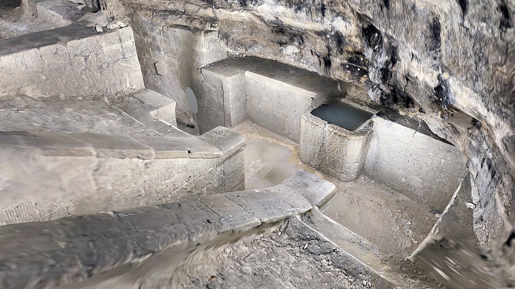
Borne routière sur la route militaire construite en 1914-1915 pour permettre la liaison stratégique entre la fortification du Hauenstein et la zone fortifiée des Rangiers.
Meilenstein an der Militärstraße, die 1914–1915 gebaut wurde, um die strategische Verbindung zwischen der Festung Hauenstein und dem Festungsgebiet Les Rangiers herzustellen.
Inscription : | | | Symbole des sapeurs 9
Références : Wiessl, U, Der Scheltenpass, Jurablätter 57-12, 1995; Doswald, C, "Scheltenpass", in: Historisches Lexikon der Schweiz (HLS),; https://www.ivs.admin.ch/ .
Website : https://umap.osm.ch/m/11134
📍 [Schiessplatz Guldental, Ramiswil, SO](https://scaniver.se/L47.33183,7.58189)
Sketchfab
3D Model
Scheltenpass Km9
Share:
AI-Powered Productivity
Boost your creative workflow with seamless access to ChatGPT, Claude, Midjourney and other global AI platforms. We recommendTongbaofor one-click access to AI tools and remote collaboration platforms. Get 200MB free daily upon registration, supports Google Workspace, Notion, and more.
Asset Information
Type:
3D Model
Source:
Sketchfab
Author:
clwackerProfile:
View on Sketchfab
Download:
Available
Published:
March 22, 2026
License:
CC Attribution-NonCommercial-ShareAlike
Commercial Use
Check License
View on Sketchfab
Statistics
Downloads:
1
Likes:
0
Views:
3
Technical Specifications
Polygons:
192,336
Vertices:
97,754
Categories